India's real estate sector is growing across residential, commercial and mixed-use developments. As projects become larger and construction timelines become longer, keeping track of progress has become an important part of project management. For developers and construction teams, regular site visits and progress reports remain essential. However, they do not always provide a continuous view of what is happening on a project. A development can change considerably between two site visits. This is where visual documentation can play an important role. Through photographs, construction cameras, time-lapse, video and aerial imagery, project teams can create a record of construction from the early stages through completion. When used properly, these tools can also make it easier for teams working from different locations to stay connected with the project.
Why Visual Documentation Matters
Construction is a gradual process. Foundations are laid, structures take shape, façades are installed and interiors are completed over many months or years. A photograph taken today may show only a small part of that journey. Regular visual documentation creates a much broader picture. It allows teams to look back at how the project has developed and compare different stages of construction. For developers, this can be useful when reviewing progress with contractors, consultants, management teams or investors. It can also provide a permanent record of the development that can be referred to after construction is complete. The value is not simply in having more photographs. It is in having consistent documentation that shows meaningful changes over time.
Not everyone involved in a real estate project can be on site every day. A developer may be managing projects in several cities. Senior management may be based at a corporate office, while consultants and other stakeholders may work from different locations. Construction cameras and remote monitoring can help bridge that gap. A camera positioned at an appropriate location can provide a continuous view of important areas of a project. Depending on the system, teams may be able to access live views as well as recorded images. TimeLapseME, for example, provides LiveView for remote access to construction sites, allowing project stakeholders to stay connected to site activity without always being physically present. This does not replace site visits or professional inspections. Instead, it gives project teams another way to maintain visibility between visits.
One of the biggest advantages of visual documentation is the ability to see change. A construction project may look very different from one month to the next, but those changes are not always obvious when viewed separately. Regularly captured images create a visual timeline. Teams can see when major stages began, how the structure developed and how different areas of the site changed. This can be particularly useful for long-duration projects where construction may continue for several years. For Indian real estate developers working on large residential communities, commercial developments or mixed-use projects, maintaining this record can help provide a clearer picture of the entire construction journey.
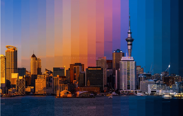
Construction time-lapse takes visual documentation a step further. Instead of looking at hundreds or thousands of individual images, time-lapse brings them together into a short sequence that shows the project changing over time. A development that takes two or three years to build can be presented in a few minutes. This makes time-lapse useful not only for project documentation but also for communicating the story of a development. TimeLapseME's TimeLapse Capture is designed for long-term construction documentation, allowing projects to be recorded throughout different stages of development.
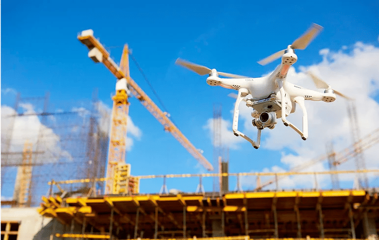
A single camera cannot show everything happening on a large construction site. Ground-level photography can capture details and specific work areas, while a wider aerial view can show the overall development. Aerial imagery can be especially useful for large projects where the relationship between different buildings, roads, landscaping and surrounding areas is important. TimeLapseME also provides aerial visual services alongside ground-level documentation and other project capture solutions. Using different forms of visual documentation together can provide a more complete picture of the project.
The value of construction imagery does not necessarily end when the building is handed over. Developers can continue to use the material for years after completion. A well-documented project can provide content for company websites, portfolios, case studies, presentations and marketing campaigns. It can also serve as a record of the development process. For companies that complete multiple projects, this creates a growing library of visual material that demonstrates their experience and provides a history of completed developments.
For developers working across India, remote monitoring can be particularly useful. A company may have projects in Mumbai, Bengaluru, Delhi NCR, Hyderabad, Pune or other cities while its central management team operates from another location. Having consistent visual documentation across different sites can help management teams review projects without relying entirely on travel. It can also provide a common approach to documenting projects across the organization. As construction technology continues to develop, visual information is becoming increasingly connected with other project data and digital workflows.
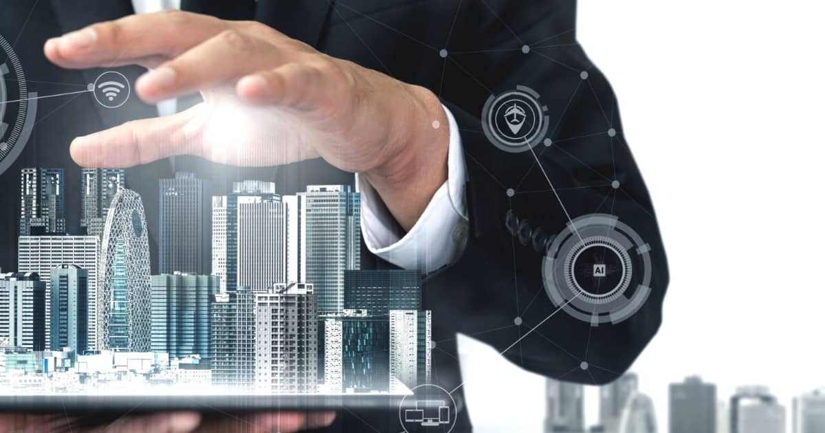
Construction documentation is moving beyond simple photographs. Today, projects can combine live camera feeds, time-lapse photography, aerial imagery, 360-degree captures and other digital information. Platforms such as TimeLapseME's ProgressCenter are designed to bring project visual information together and provide teams with a more organized way to view and work with construction progress. The objective is not to introduce technology simply for the sake of it. The real value comes from making project information easier to access, understand and use. As real estate projects become more complex, having a reliable visual record can become an increasingly useful part of project management.
What is visual documentation in real estate construction?
Visual documentation involves capturing photographs, videos, time-lapse sequences, aerial imagery and other visual information throughout a construction project to create a record of its progress.
What types of real estate projects can use visual documentation?
It can be used for residential developments, commercial buildings, office projects, mixed-use developments, townships and other large construction projects.
How do construction cameras help with project monitoring?
Construction cameras provide regular or live views of a site, allowing project stakeholders to stay informed about construction activity between physical site visits.
Can construction images be used after a project is completed?
Yes. Construction photographs, videos and time-lapse can continue to be useful for case studies, presentations, websites, marketing, social media and company portfolios.